UN
1 The Brow
£ 170,000
Description
We don't have a Description for this property.
- Bedrooms
- 3
- Bathrooms
- 0
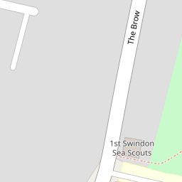
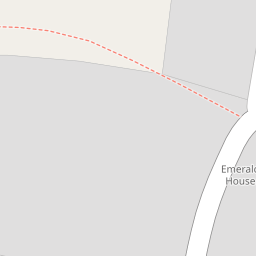
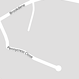
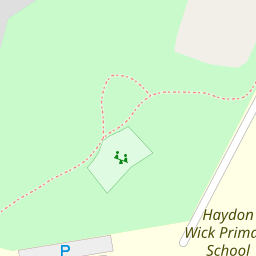

Leaflet © OpenStreetMap contributors
The heatmap indicates the level of crime in the area. The color of the heatmap indicates the crime severity and recency.
Metrics Year-on-Year
- Average area value
- 452,128.00 £Decreased by 14.49 %
- Average area rental value
- 1,247.00 £/moIncreased by 10.94 %
- Est rental Yield
- 3.31 %Increased by 29.80 %
- Crime Rate
- 5.00 %Unchanged by 0.00 %
from 528,723.00 £
from 1,124.00 £/mo
from 2.55 %
from 5.00 %
Nearby Schools
| Name | Type | Ofsted | Distance |
|---|---|---|---|
| Haydon Wick Primary School | Academy Converter | 0.19 KM | |
| Haydonleigh Primary School | Community School | Good | 0.35 KM |
| Moredon Primary School | Academy Converter | 0.88 KM | |
| Moredon Children'S Centre | Children's Centre | 0.93 KM | |
| Orchid Vale Primary School | Academy Sponsor Led | 1.08 KM |
Images
Nearby Streets
| Name | Average Price | Average Sqft | Distance |
|---|---|---|---|
| Moredon Road | £ 115,000 | 0 | 0.00 KM |
| Honeysuckle Close | £ 0 | 0 | 0.00 KM |
| Coppice Close | £ 0 | 0 | 0.00 KM |
| Allison Court | £ 150,000 | 0 | 0.00 KM |
| Aubrey Gardens | £ 0 | 0 | 0.00 KM |
Nearby Transport
| Name | NLC | TLC | Distance |
|---|---|---|---|
| Swindon (Wilts) | 3333 | SWI | 3.76 KM |
Nearby Listings
| Address | Price | Type | Score | Distance |
|---|---|---|---|---|
| The Brow, Swindon, Wiltshire, SN25 | £ 275,000 | BUY | 6 / 10 | 0.02 KM |
| Pennycress Close, Swindon | £ 300,000 | BUY | Unknown | 0.20 KM |
| Avonmead, Greenmeadow, Swindon, SN25 | £ 220,000 | BUY | 6 / 10 | 0.23 KM |
| Sherford Road, Swindon, Wiltshire, SN25 | £ 450,000 | BUY | Unknown | 0.24 KM |
| Sherford Road, Swindon, SN25 | £ 400,000 | BUY | 8 / 10 | 0.26 KM |
Nearby Properties
| Address | Price | Distance |
|---|---|---|
| 21 The Brow | £ 168,000 | 0.00 KM |
| 1 The Brow | £ 170,000 | 0.00 KM |
| 12 The Brow | £ 195,000 | 0.00 KM |
| 8 The Brow | £ 144,500 | 0.00 KM |
| 24 The Brow | £ 130,000 | 0.00 KM |